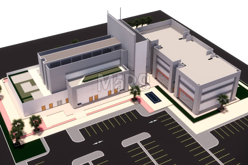
LiDAR Point Cloud to 3D BIM Model for Surveying, Design, and Coordination
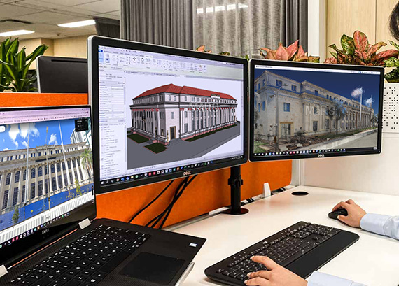
At MaRS Trans USA, we have established ourselves as trusted Scan to BIM Experts in the AEC sector. We deliver comprehensive Point Cloud to BIM Services to construction companies, facility managers, general contractors, MEP firms, and building surveyors globally. By combining cutting-edge technology with deep industry expertise, our team converts raw point cloud data into coordinated BIM models that streamline the entire project lifecycle.
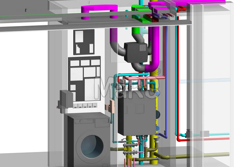
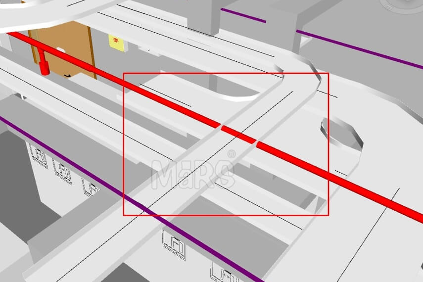
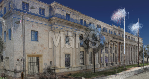
We work seamlessly with survey data captured using advanced 3D laser scanners and LiDAR technology, including Faro, Matterport, Trimble, and Riegl systems. On behalf of clients, we receive and process Existing Conditions 3D Laser Scanning data in original point cloud formats such as .fls, .fws, .ptg, and more. Whether the project involves complex building structures, renovation sites, or historical facilities, our team efficiently transforms raw laser scan data into highly accurate, information-rich BIM models and high-fidelity digital assets that support precise planning, design, and construction workflows.
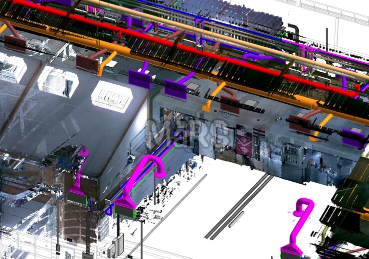
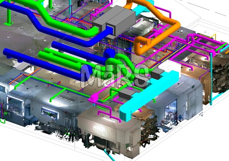
The BIM industry entirely relies upon the tools and factors that smoothen the architectural, construction and reconstruction processes. Surveyors and professionals work in coordination to deliver the desired BIM model to clients. Our professionals properly turn the scan data into a digital model which undergoes different phases of BIM.


 Scan to BIM.jpg)